Arlington seawall and bulkhead planning
Arlington’s waterfront includes the St. Johns east bank, the Arlington River and tidal Pottsburg Creek. Timber walls and tidal flooding are recurring themes.
Describe your project on this page ↓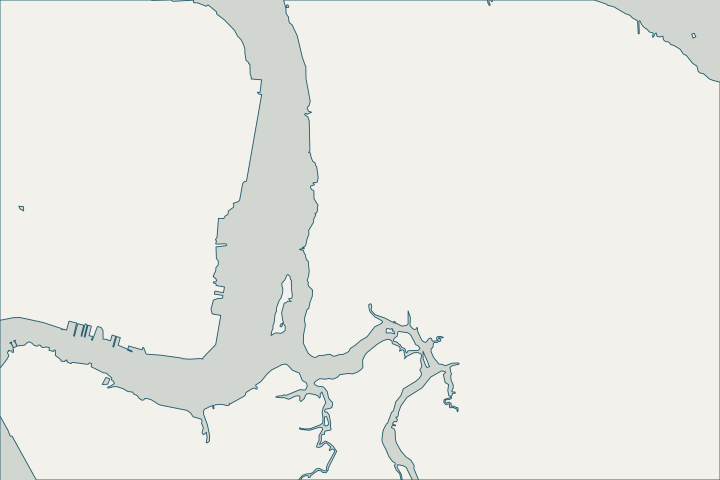
Get to know your waterfront
Arlington lies east of the St. Johns River, with waterfront on the main river, the Arlington River and Pottsburg Creek. Tide range grows downriver from about 2 feet downtown to about 3.7 feet at Dames Point. The Weather Service calls the Pottsburg Creek area near the Beach Boulevard ramp prone to tidal flooding.
USGS GNIS Streams (Mouth) and Other Hydrographic Features, Duval County · NOAA Tides & Currents datums, Dames Point · Post Tropical Cyclone Report: Hurricane Nicole (PSHJAX)
Timber walls on tidal creeks
At the Beach Boulevard boat ramp on Pottsburg Creek, the city plans to replace wooden retaining walls with sheet piling and caps because the ramp and bulkhead are in disrepair. Owners with old timber walls on the creek face the same choice; have timber sounded for borer damage before deciding. COJ Capital Projects layer · Wood-Boring Marine and Estuarine Animals in Florida (SGEB-15)
Irma’s storm tide on Pottsburg Creek reached 4.76 feet above normal high water; Nicole’s reached 2.79 feet. Post Tropical Cyclone Report: Hurricane Irma (PSHJAX), Section E · Post Tropical Cyclone Report: Hurricane Nicole (PSHJAX)
Toward Fort Caroline, the city’s model rated Reddie Point Preserve suitable for a marsh-with-sill living shoreline, a useful reference for quieter frontage. Living Shoreline Suitability Model (LSSM) report
What could the work cost?
Timber-to-sheet-pile replacement is a common Arlington scope; compare vinyl, composite and steel prices in the cost guide.
Published prices are attributed planning context from contractors’ own pages, not a measured Jacksonville average or this website’s quote. Ranges differ about five-fold between publishers; your written, itemized scope decides the real number.
Compare quotes and plan a budget →Find the relevant permits and records
| Starting point | What to resolve | Prepare and look up |
|---|---|---|
City of Jacksonville Building Inspection Division | Building permit through JaxEPICS after zoning, drainage and any flood or historic review; inspections. | Signed and sealed drawings, survey and site plan as unlocked PDFs. 214 N. Hogan St.; 904-255-8500. |
Florida DEP Northeast District (Jacksonville) | State environmental resource permit or exemption, and state-lands consent for work at or below the high-water line. DEP handles single-family docks and shore protection not tied to a larger development. | Survey with the existing wall face and high-water line, the proposed alignment and photos. DEP Northeast District: 904-256-1700. |
U.S. Army Corps of Engineers, Jacksonville District | Federal authorization for work in tidal and navigable waters, often verified by DEP through the state programmatic general permit or covered by a nationwide permit. | Ask DEP whether its review includes federal verification for your scope, or which nationwide permit applies. |
An Arlington checklist
Use these steps to prepare.
Pull your permit and parcel history
Search past permits in JaxEPICS (guest sign-in) and look up your parcel with the Duval County Property Appraiser before the assessment.
Services Provided: Violation or Permit Record Search · Duval County Property Appraiser
Ask for your flood zone and elevation certificate
The city’s floodplain coordinator (904-255-8366) provides flood zone determinations and copies of available elevation certificates.
Note tide-day flooding
Record when water reaches your yard on high tides without rain; it helps separate creek backflow from wall leakage.
Plan your Arlington seawall project
Tell us where your Arlington property is, what you have noticed and what you want to decide. We will help you plan the next step.
Local guidance. A clearer plan for your waterfront.
Arlington project questions
Which planning district is Arlington in?
North of Beach Boulevard is the Greater Arlington/Beaches planning district; some Pottsburg Creek areas are coded Southeast.
CPAC District 2: Greater Arlington/Beaches; CPAC District 6: North · COJ Capital Projects layer
Keep planning
Nearby waterfront guides
San Marco, Fort George Island & Northside Marshes, Intracoastal West
Show sourcesHide sources
- USGS GNIS Streams (Mouth) and Other Hydrographic Features, Duval CountySource reviewed 2026-10-24
- NOAA Tides & Currents datums, Dames PointSource reviewed 2026-10-24
- Post Tropical Cyclone Report: Hurricane Nicole (PSHJAX)Source reviewed 2026-10-24
- COJ Capital Projects layerSource reviewed 2026-10-24
- Wood-Boring Marine and Estuarine Animals in Florida (SGEB-15)Source reviewed 2026-10-24
- Post Tropical Cyclone Report: Hurricane Irma (PSHJAX), Section ESource reviewed 2026-10-24
- Living Shoreline Suitability Model (LSSM) reportSource reviewed 2026-10-24
- Online/Electronic Permit SubmissionSource reviewed 2026-10-24
- Building Inspection DivisionSource reviewed 2026-10-24
- Northeast DistrictSource reviewed 2026-10-24
- Operating Agreements ERP Permitting: DEP District Offices and the Water Management District OfficesSource reviewed 2026-10-24
- Operating Agreement Concerning Regulation Under Part IV, Ch. 373, F.S., Between SJRWMD and DEP (eff. 07/01/07)Source reviewed 2026-10-24
- Federal Permits and Coordination Agreements Between DEP, WMDs, and the U.S. Army Corps of EngineersSource reviewed 2026-10-24
- SPGP VI – 1. Shoreline Stabilization, Activity descriptionSource reviewed 2026-10-24
- Reissuance and Modification of Nationwide Permits (91 FR 768, Jan. 8, 2026)Source reviewed 2026-10-24
- Services Provided: Violation or Permit Record SearchSource reviewed 2026-10-24
- Duval County Property AppraiserSource reviewed 2026-10-24
- Floodplain ManagementSource reviewed 2026-10-24
- CPAC District 2: Greater Arlington/Beaches; CPAC District 6: NorthSource reviewed 2026-10-24