Atlantic Beach seawall and bulkhead planning
Atlantic Beach sits between the ocean and San Pablo Creek and the Intracoastal. Its tidal creeks and marsh buffers shape what a waterfront project can do.
Describe your project on this page ↓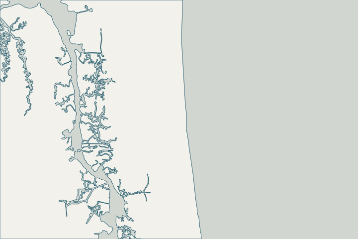
Get to know your waterfront
Atlantic Beach lies between the Atlantic Ocean and San Pablo Creek on the Intracoastal Waterway. Its 2025 flood-risk adaptation plan names Hopkins Creek, Sherman Canal, Puckett Creek and Sherman Creek as major drainageways, with Hopkins and Sherman creeks influenced by tides and storm surge. The city has recorded flooding from Irma, Matthew, Nicole and the November 2015 nor’easter.
Future Flood Risk Adaptation Plan Update (Exhibit A to Resolution 25-58) · Future Flood Risk Adaptation Plan Update – Major Drainageways; Hopkins/Sherman Creek strategies
Look at the wall and the marsh edge together
Many Atlantic Beach waterfront lots meet tidal marsh rather than open water. The city’s existing rules, summarized in its adaptation plan, keep a 50-foot buffer from jurisdictional wetlands next to water bodies connected to the Intracoastal, and 25 feet for other wetlands and for single-family lots platted before 2002. Ask your designer to show the wetland line and buffer on the site plan before choosing a wall alignment. Future Flood Risk Adaptation Plan Update – 4.3.2 Existing Development Regulations
Habitable space must sit at least 8.5 feet above mean sea level or 2.5 feet above base flood elevation, whichever is greater. That is a useful reference when discussing how high a new cap and yard grade should be. Future Flood Risk Adaptation Plan Update – 4.3.2 Existing Development Regulations
Creek flooding is already happening
The plan reports nuisance flooding over Dutton Island Road and West Plaza and lists backflow-prevention concepts at the Hopkins Creek culverts on Atlantic Boulevard and the Sherman Creek culverts on Mayport Road. Record tide-day water levels at your property: they help separate wall leakage from creek backflow. Future Flood Risk Adaptation Plan Update – Major Drainageways; Hopkins/Sherman Creek strategies
What could the work cost?
Expect wetland delineation and survey costs if your lot borders marsh, and price creek-side drainage work separately from the wall.
Published prices are attributed planning context from contractors’ own pages, not a measured Jacksonville average or this website’s quote. Ranges differ about five-fold between publishers; your written, itemized scope decides the real number.
Compare quotes and plan a budget →Find the relevant permits and records
| Starting point | What to resolve | Prepare and look up |
|---|---|---|
Atlantic Beach Building Department | Building permits under the Florida Building Code inside city limits; local wetland buffer questions. | Survey with wetland line, proposed wall and elevations. 904-247-5826; 800 Seminole Road. |
Florida DEP Northeast District (Jacksonville) | State environmental resource permit or exemption, and state-lands consent for work at or below the high-water line. DEP handles single-family docks and shore protection not tied to a larger development. | Survey with the existing wall face and high-water line, the proposed alignment and photos. DEP Northeast District: 904-256-1700. |
U.S. Army Corps of Engineers, Jacksonville District | Federal authorization for work in tidal and navigable waters, often verified by DEP through the state programmatic general permit or covered by a nationwide permit. | Ask DEP whether its review includes federal verification for your scope, or which nationwide permit applies. |
An Atlantic Beach planning checklist
These steps reflect the city’s own adaptation plan and flood program.
Map the wetland line first
Ask for the jurisdictional wetland line on your survey; the 50-foot or 25-foot buffer can decide the whole design.
Future Flood Risk Adaptation Plan Update – 4.3.2 Existing Development Regulations
Use the right tide gauge
Atlantic Beach cites NOAA’s Mayport gauge for planning; relative sea level there is rising about 1.15 inches per decade.
Know your flood-insurance class
FEMA moved Atlantic Beach to CRS class 5, a 25% NFIP discount, effective October 1, 2026.
Note the beach project boundaries
Atlantic Beach renourishment is part of the federal Duval County Shore Protection Project, now authorized through 2040. It does not cover creek-side walls.
Plan your Atlantic Beach seawall project
Tell us where your Atlantic Beach property is, what you have noticed and what you want to decide. We will help you plan the next step.
Local guidance. A clearer plan for your waterfront.
Atlantic Beach project questions
Who issues my permit in Atlantic Beach?
The City of Atlantic Beach building department. Call 904-247-5826 or email Building-Dept@coab.us with permit questions.
Why does the marsh buffer matter for a seawall?
A buffer from jurisdictional wetlands can limit where a new wall or fill goes, especially on lots connected to the Intracoastal.
Future Flood Risk Adaptation Plan Update – 4.3.2 Existing Development Regulations
Is Atlantic Beach in the Mayport flood record?
Nicole set the highest modern water level at the Mayport gauge in November 2022, about 3.41 feet above normal high water.
Keep planning
Nearby waterfront guides
Neptune Beach, Mayport, Jacksonville Beach, Intracoastal West
Show sourcesHide sources
- Future Flood Risk Adaptation Plan Update (Exhibit A to Resolution 25-58)Source reviewed 2026-10-24
- Do I Need A Permit?Source reviewed 2026-10-24
- Northeast DistrictSource reviewed 2026-10-24
- Operating Agreements ERP Permitting: DEP District Offices and the Water Management District OfficesSource reviewed 2026-10-24
- Operating Agreement Concerning Regulation Under Part IV, Ch. 373, F.S., Between SJRWMD and DEP (eff. 07/01/07)Source reviewed 2026-10-24
- Federal Permits and Coordination Agreements Between DEP, WMDs, and the U.S. Army Corps of EngineersSource reviewed 2026-10-24
- SPGP VI – 1. Shoreline Stabilization, Activity descriptionSource reviewed 2026-10-24
- Reissuance and Modification of Nationwide Permits (91 FR 768, Jan. 8, 2026)Source reviewed 2026-10-24
- NOAA CO-OPS sea level trends (station 8720218 Mayport)Source reviewed 2026-10-24
- CRS Eligible Communities, October 1, 2026 Effective DateSource reviewed 2026-10-24
- Duval County Shore Protection ProjectSource reviewed 2026-10-24
- NWPS gauge MYPF1 – St. Johns River at MayportSource reviewed 2026-10-24