Jacksonville Beach seawall and bulkhead planning
Jacksonville Beach is its own city with its own building division. Intracoastal lots and oceanfront lots face different water and different rules.
Describe your project on this page ↓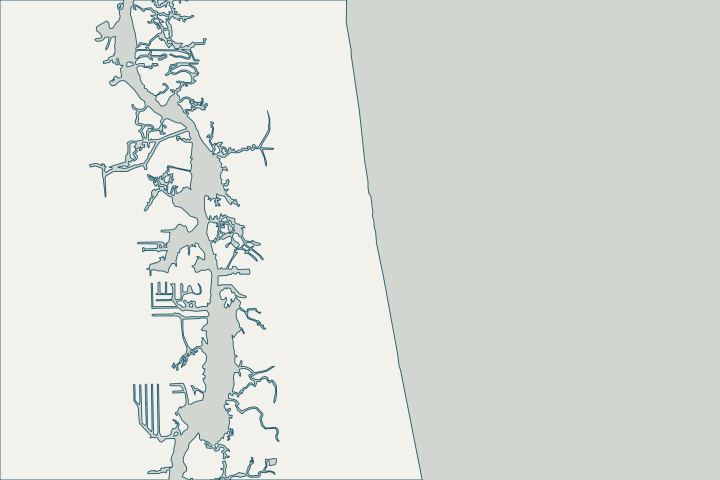
Get to know your waterfront
Jacksonville Beach is a separate city inside Duval County, with Intracoastal Waterway frontage on its west side and the Atlantic on its east. Census counts about 7.3 square miles of land and 14.6 square miles of water inside the city limits. Its Intracoastal walls see ocean-type tide range and salinity, while oceanfront property falls under Florida’s coastal construction rules and the federally authorized Duval County shore protection project.
2024 Census Gazetteer: Florida places · St. Augustine Beach and ICWW station datums (8720587, 8720494, 8720398, 8720305, 8720267) · USACE awards $32.4M Florida beach re-nourishment contract
Two shorelines, two kinds of assessment
On the Intracoastal side, ask the assessor to check the splash zone and the band just below low water, where steel and reinforcing bar corrode fastest, and to sound any timber for borers. The Intracoastal near Palm Valley and Pablo Creek keeps a daily tide range of roughly 4–5 feet. St. Augustine Beach and ICWW station datums (8720587, 8720494, 8720398, 8720305, 8720267) · UFM 4-150-07 Waterfront Facilities: Operation and Maintenance
On the ocean side, a wall or revetment is coastal armoring. Eligibility, design storm and the 250-foot gap rule decide what can be permanent; see the oceanfront armoring guide. Rule 62B-33.0051, F.A.C. – Coastal Armoring and Related Structures
Local records worth pulling
- The city’s Planning and Development office keeps Elevation Certificates received since 1989.
- FEMA’s updated Duval County flood maps took effect November 2, 2018.
- The city says permits are needed before development in the special flood hazard area, including bringing fill onto a property.
What could the work cost?
Price Intracoastal and oceanfront work separately. Oceanfront armoring is a different scale of project; a Jacksonville-area contractor has put private oceanfront walls at $150,000 or more.
Published prices are attributed planning context from contractors’ own pages, not a measured Jacksonville average or this website’s quote. Ranges differ about five-fold between publishers; your written, itemized scope decides the real number.
Compare quotes and plan a budget →Find the relevant permits and records
| Starting point | What to resolve | Prepare and look up |
|---|---|---|
Jacksonville Beach Building Division | Building permit, inspections and flood-zone requirements inside city limits. | Address, survey with elevations, engineered drawings and contractor license. 11 N Third Street; 904-247-6235. |
Florida DEP Northeast District (Jacksonville) | State environmental resource permit or exemption, and state-lands consent for work at or below the high-water line. DEP handles single-family docks and shore protection not tied to a larger development. | Survey with the existing wall face and high-water line, the proposed alignment and photos. DEP Northeast District: 904-256-1700. |
U.S. Army Corps of Engineers, Jacksonville District | Federal authorization for work in tidal and navigable waters, often verified by DEP through the state programmatic general permit or covered by a nationwide permit. | Ask DEP whether its review includes federal verification for your scope, or which nationwide permit applies. |
Florida DEP Coastal Construction Control Line program | Oceanfront walls and coastal armoring seaward of the control line, including eligibility and emergency rules. | Survey showing the control line, dune and structure; ask a coastal engineer about eligibility. Program line: 850-245-8570. |
A Jacksonville Beach records checklist
Gather these before asking for quotes so every bidder prices the same wall.
Ask for your Elevation Certificate
Planning and Development keeps certificates received since 1989 (904-247-6231). It tells the designer your finished-floor and grade elevations in a known datum.
Confirm your flood zone on the 2018 maps
Duval County’s FEMA maps updated in 2018 apply. Ask whether your lot is in a coastal zone before choosing a wall height.
Check the CRS discount on your flood policy
FEMA lists Jacksonville Beach at Community Rating System class 6, a 20% NFIP discount.
Separate the beach project from your wall
The 2024 federal renourishment of about 10 miles of Duval beaches is a public project. It does not repair or permit private armoring.
Plan your Jacksonville Beach seawall project
Tell us where your Jacksonville Beach property is, what you have noticed and what you want to decide. We will help you plan the next step.
Local guidance. A clearer plan for your waterfront.
Jacksonville Beach project questions
Do I get my seawall permit from the City of Jacksonville?
No. Jacksonville Beach issues its own building permits. State and federal environmental approvals still apply to work at the water.
Can I build a wall on the oceanfront after a storm?
Temporary armoring has strict 30- and 60-day timelines, and permanent armoring requires an eligible, vulnerable structure or a qualifying gap of 250 feet or less.
s. 161.085(3)-(6), F.S. (2026) · Rule 62B-33.0051, F.A.C. – Coastal Armoring and Related Structures
Is beach renourishment going to protect my wall?
Renourishment widens the public beach. It is not a structural repair or a guarantee for private property, so assess your wall on its own merits.
Keep planning
Nearby waterfront guides
Neptune Beach, Atlantic Beach, Ponte Vedra Beach, Intracoastal West
Show sourcesHide sources
- 2024 Census Gazetteer: Florida placesSource reviewed 2026-10-24
- St. Augustine Beach and ICWW station datums (8720587, 8720494, 8720398, 8720305, 8720267)Source reviewed 2026-10-24
- USACE awards $32.4M Florida beach re-nourishment contractSource reviewed 2026-10-24
- UFM 4-150-07 Waterfront Facilities: Operation and MaintenanceSource reviewed 2026-10-24
- Rule 62B-33.0051, F.A.C. – Coastal Armoring and Related StructuresSource reviewed 2026-10-24
- Flood Protection Information (flyer)Source reviewed 2026-10-24
- Building Inspection DivisionSource reviewed 2026-10-24
- Northeast DistrictSource reviewed 2026-10-24
- Operating Agreements ERP Permitting: DEP District Offices and the Water Management District OfficesSource reviewed 2026-10-24
- Operating Agreement Concerning Regulation Under Part IV, Ch. 373, F.S., Between SJRWMD and DEP (eff. 07/01/07)Source reviewed 2026-10-24
- Federal Permits and Coordination Agreements Between DEP, WMDs, and the U.S. Army Corps of EngineersSource reviewed 2026-10-24
- SPGP VI – 1. Shoreline Stabilization, Activity descriptionSource reviewed 2026-10-24
- Reissuance and Modification of Nationwide Permits (91 FR 768, Jan. 8, 2026)Source reviewed 2026-10-24
- Coastal Construction Control Line ProgramSource reviewed 2026-10-24
- Chapter 62B-26, F.A.C. – Coastal Construction Control LinesSource reviewed 2026-10-24
- CRS Eligible Communities, October 1, 2026 Effective DateSource reviewed 2026-10-24
- s. 161.085(3)-(6), F.S. (2026)Source reviewed 2026-10-24