
St. Augustine seawall and bulkhead planning
St. Augustine has some of the most studied seawalls in Florida. Its bayfront projects, storm high-water marks and Davis Shores drainage work give owners real reference points.
Describe your project on this page ↓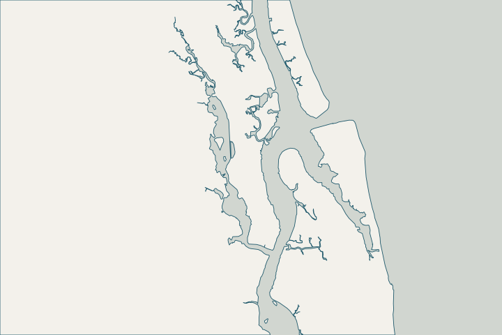
Get to know your waterfront
St. Augustine sits on the Matanzas River behind Anastasia Island in St. Johns County. Davis Shores and Salt Run are on the island; Vilano Beach is across the inlet to the north. The city reports that 90% of its area is in a flood zone, and its bayfront high-water marks reached 7 feet NAVD88 in Matthew and 6.75 feet in Irma.
2024 Census Gazetteer: Florida places; USGS GNIS · City of St. Augustine – Resiliency and Stormwater Program Update (SANDS, Feb. 18, 2025) · Saving 450 Years of History in the Nation's Oldest City: A Look at Flood Mitigation Projects (FSA, June 13, 2018)
Use the city’s own numbers as a yardstick
The city’s Avenida Menendez seawall was built 12 feet waterward of the 1800s wall and, per a 2018 city presentation, crested as designed in Matthew and Irma. A follow-up project for about 570 feet near the Bridge of Lions repairs the face and cap, replaces about 85 feet of failing wall and adds a two-foot wall behind it to reach the city’s target elevation of +7.1 feet NAVD. Avenida Menendez Seawall · Avenida Menendez Seawall Project Fact Sheet
On Salt Run, the Inlet Drive resiliency project placed a new bulkhead on the land side of the old wall at 8–8.75 feet NAVD88, kept above mean high water to avoid mangroves, with tide check valves and living-shoreline work. Comparing your survey to these elevations is a practical way to judge how exposed your cap is. Inlet Drive Shoreline Resiliency
Davis Shores drainage
The city has fitted tide check valves to Davis Shores stormwater outfalls and reports king-tide street flooding eliminated at one outfall after installation. If your yard floods on king tides, find out whether water is coming over the wall or up through drains. Saving 450 Years of History in the Nation's Oldest City (FSA 2018)
What could the work cost?
Public bayfront work here has run from about $2,600 to over $12,000 per foot including site work; residential walls cost far less but height matters.
Published prices are attributed planning context from contractors’ own pages, not a measured Jacksonville average or this website’s quote. Ranges differ about five-fold between publishers; your written, itemized scope decides the real number.
Compare quotes and plan a budget →Find the relevant permits and records
| Starting point | What to resolve | Prepare and look up |
|---|---|---|
City of St. Augustine Planning & Building | Building permits inside city limits, including Davis Shores; dock permits need Planning & Zoning Board approval. | Drawings showing Florida Building Code compliance. 75 King Street; 904-825-1065; permits 904-825-1060. |
St. Johns County Building Department | Unincorporated areas such as Vilano Beach and parts of Anastasia Island. | Parcel ID and Clearance Sheet. (904) 827-6800. |
Florida DEP Northeast District (Jacksonville) | State environmental resource permit or exemption, and state-lands consent for work at or below the high-water line. DEP handles single-family docks and shore protection not tied to a larger development. | Survey with the existing wall face and high-water line, the proposed alignment and photos. DEP Northeast District: 904-256-1700. |
Florida DEP Coastal Construction Control Line program | Oceanfront walls and coastal armoring seaward of the control line, including eligibility and emergency rules. | Survey showing the control line, dune and structure; ask a coastal engineer about eligibility. Program line: 850-245-8570. |
A St. Augustine planning checklist
These steps use the city’s published projects and records.
Confirm city or county
Davis Shores is inside the city; Vilano Beach is unincorporated county. Each issues its own permits.
Staff Directory – Planning & Building · Building Permits – Permit Guidelines & General Information
Compare your cap to +7.1 ft NAVD
The city’s bayfront target is a public benchmark, not a rule for your lot, but it frames the conversation about height.
Watch for the Resilient Shorelines Ordinance
The city has described a proposed ordinance with guidance on seawalls, living shorelines and hybrids. Ask the city whether it has been adopted before you design.
Note FDOT’s bayfront work
FDOT is replacing the A1A seawall from the Bridge of Lions to Charlotte Street, June 2026 to fall 2027, under a $19.9 million contract.
Construction begins on seawall replacement project along SR A1A
Plan your St. Augustine seawall project
Tell us where your St. Augustine property is, what you have noticed and what you want to decide. We will help you plan the next step.
Local guidance. A clearer plan for your waterfront.
St. Augustine project questions
How high did water get in Matthew and Irma?
City high-water marks on the bayfront were 7 feet NAVD88 in Matthew (2016) and 6.75 feet NAVD88 in Irma (2017).
What is the flood-insurance discount in St. Augustine?
FEMA lists the City of St. Augustine at CRS class 4, a 30% NFIP discount.
When does water overtop the bayfront seawall?
NWS notes water overtops the Avenida Menendez seawall at the 3.7-foot major flood stage at the marina gauge.
Keep planning
Nearby waterfront guides
Show sourcesHide sources
- 2024 Census Gazetteer: Florida places; USGS GNISSource reviewed 2026-10-24
- City of St. Augustine – Resiliency and Stormwater Program Update (SANDS, Feb. 18, 2025)Source reviewed 2026-10-24
- Saving 450 Years of History in the Nation's Oldest City: A Look at Flood Mitigation Projects (FSA, June 13, 2018)Source reviewed 2026-10-24
- Avenida Menendez SeawallSource reviewed 2026-10-24
- Avenida Menendez Seawall Project Fact SheetSource reviewed 2026-10-24
- Inlet Drive Shoreline ResiliencySource reviewed 2026-10-24
- Staff Directory – Planning & BuildingSource reviewed 2026-10-24
- Required Building Permit DocumentsSource reviewed 2026-10-24
- Building Permits – Permit Guidelines & General InformationSource reviewed 2026-10-24
- Northeast DistrictSource reviewed 2026-10-24
- Operating Agreements ERP Permitting: DEP District Offices and the Water Management District OfficesSource reviewed 2026-10-24
- Operating Agreement Concerning Regulation Under Part IV, Ch. 373, F.S., Between SJRWMD and DEP (eff. 07/01/07)Source reviewed 2026-10-24
- Coastal Construction Control Line ProgramSource reviewed 2026-10-24
- Chapter 62B-26, F.A.C. – Coastal Construction Control LinesSource reviewed 2026-10-24
- Rule 62B-33.0051, F.A.C. – Coastal Armoring and Related StructuresSource reviewed 2026-10-24
- Proposed Resilient Shorelines Ordinance (fact sheet)Source reviewed 2026-10-24
- Construction begins on seawall replacement project along SR A1ASource reviewed 2026-10-24
- CRS Eligible Communities, October 1, 2026 Effective DateSource reviewed 2026-10-24
- Tide Station at St Augustine Municipal Marina (SMFF1)Source reviewed 2026-10-24