Neptune Beach seawall and bulkhead planning
Neptune Beach is the smallest of the three Beaches cities. Permits go through its own building and zoning office, and oceanfront work follows Florida’s coastal rules.
Describe your project on this page ↓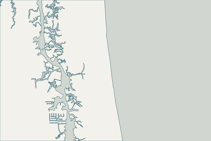
Get to know your waterfront
Neptune Beach is a separate Duval County city between Atlantic Beach and Jacksonville Beach, with about 2.3 square miles of land and 4.5 square miles of water inside its limits. Its waterfront includes the Atlantic shore, covered by the federal Duval County shore protection project, and low-lying areas draining toward the Intracoastal side.
2024 Census Gazetteer: Florida places · Duval County Shore Protection Project
Start with your flood zone and elevations
The Neptune Beach permit application requires a flood zone affidavit stating the minimum floor elevation when a property is in a flood zone. Have your surveyor provide elevations in NAVD88 so the same numbers serve the permit, the wall design and your flood policy. Building Permit Application · Frequently Asked Questions: Datums
Oceanfront walls and dune work are regulated as coastal armoring under the state’s control-line program; the oceanfront guide explains eligibility and emergency timelines. Chapter 62B-26, F.A.C. – Coastal Construction Control Lines
What could the work cost?
Survey and engineering are a larger share of a small wall’s budget; ask whether neighbors on either side need work too.
Published prices are attributed planning context from contractors’ own pages, not a measured Jacksonville average or this website’s quote. Ranges differ about five-fold between publishers; your written, itemized scope decides the real number.
Compare quotes and plan a budget →Find the relevant permits and records
| Starting point | What to resolve | Prepare and look up |
|---|---|---|
Neptune Beach Building and Zoning | Building permits and flood-zone affidavits inside city limits. | Permit application, flood zone affidavit and drawings. 116 First Street; (904) 270-2400 ext. 4. |
Florida DEP Northeast District (Jacksonville) | State environmental resource permit or exemption, and state-lands consent for work at or below the high-water line. DEP handles single-family docks and shore protection not tied to a larger development. | Survey with the existing wall face and high-water line, the proposed alignment and photos. DEP Northeast District: 904-256-1700. |
Florida DEP Coastal Construction Control Line program | Oceanfront walls and coastal armoring seaward of the control line, including eligibility and emergency rules. | Survey showing the control line, dune and structure; ask a coastal engineer about eligibility. Program line: 850-245-8570. |
A Neptune Beach permit checklist
Use these steps to prepare one consistent file for the city, state and your contractor.
Fill out the flood zone affidavit early
The city’s application requires it in flood zones. Ask your surveyor for the minimum floor elevation and base flood elevation.
Check your flood discount
FEMA lists Neptune Beach at CRS class 6 with a 20% NFIP discount.
Keep storm photos
Nicole and Matthew produced the highest modern water levels at the nearby Mayport gauge. Dated photos help with claims and later assessments.
Plan your Neptune Beach seawall project
Tell us where your Neptune Beach property is, what you have noticed and what you want to decide. We will help you plan the next step.
Local guidance. A clearer plan for your waterfront.
Neptune Beach project questions
Is Neptune Beach part of the City of Jacksonville permit system?
No. Neptune Beach issues its own building permits through its Building and Zoning office.
Does beach renourishment reach Neptune Beach?
Yes. The 2024 federal renourishment covered about 10 miles of Duval shoreline in Atlantic Beach, Neptune Beach and Jacksonville Beach.
Keep planning
Nearby waterfront guides
Show sourcesHide sources
- 2024 Census Gazetteer: Florida placesSource reviewed 2026-10-24
- Duval County Shore Protection ProjectSource reviewed 2026-10-24
- Building Permit ApplicationSource reviewed 2026-10-24
- Frequently Asked Questions: DatumsSource reviewed 2026-10-24
- Chapter 62B-26, F.A.C. – Coastal Construction Control LinesSource reviewed 2026-10-24
- Northeast DistrictSource reviewed 2026-10-24
- Operating Agreements ERP Permitting: DEP District Offices and the Water Management District OfficesSource reviewed 2026-10-24
- Operating Agreement Concerning Regulation Under Part IV, Ch. 373, F.S., Between SJRWMD and DEP (eff. 07/01/07)Source reviewed 2026-10-24
- Coastal Construction Control Line ProgramSource reviewed 2026-10-24
- Rule 62B-33.0051, F.A.C. – Coastal Armoring and Related StructuresSource reviewed 2026-10-24
- CRS Eligible Communities, October 1, 2026 Effective DateSource reviewed 2026-10-24
- NWPS gauge MYPF1 – St. Johns River at MayportSource reviewed 2026-10-24
- USACE awards $32.4M Florida beach re-nourishment contractSource reviewed 2026-10-24